 |
| |
|
| |
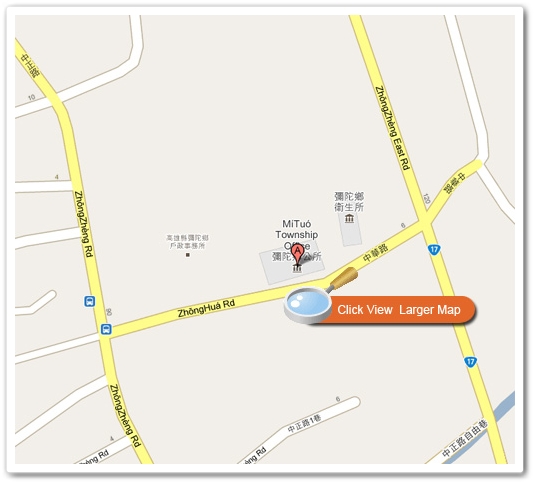
Mi-tuo Township is located in the southeastern region of Taiwan Province at the rim of Kaohsiung Plain. The west of the town is about 2 kilometers from the sea, the east is about 5 kilometers from Gangshan Street, Gangshan Navy Airport is in the center of the town, and the south side of the town is 1 kilometer from Ta-di Mountain, which is about 52-meters high and is connected to Zih-guan Township. A-gong-dian is by the north of the town while Yun-an Township is situated at the west border of Mi-tuo. On the map, Mi-tuo's southern and northern borderlines are almost equal in length, the east borderline is shorter, and the west coastline is long in length; the shape of Mi-tuo resembles a trapezoid, displaying an extremely strategic geographic location. |
 |
|
| |
Mi-tuo used to be called Mi-tuo Harbor. The earliest record of the name was found in Taiwan Government Record edited by Jiang Yu-Ying in Kang-Si 24 (A.D. 1685). However, documents from the early days actually provide different explanations on the name of the place. The names include “Wei-Luo Harbor”, ( Jiang Yu-Ying, 1985 : 26: Gao Gong-Cian, 1960: 21) or “Wei-Luo Harbor”, (Gao Gong-Cian, 1960: Map) or “Mei-Luo Harbor”. Although (Lan Ding-Yuan, 1958: 36) recorded a name that has different characters, but its pronunciation in the Hoklo language is similar to others. Therefore, it can be said that “Mi-tuo” was a name that was related to a sound. It was probably during the time when the Chinese people first started their cultivation here and gave the place its name by translating what they had heard from the local Native Taiwanese people. Thus, the origin of the name cannot be explained simply from the two words of “Mi-tuo”. The origin of Mi-tou Harbor is commonly explained to be the small temple by the harbor at the north region of the township, where “A-mi-tuo Buddha” was worshiped, (Min-Lin Hong, 1979: 110~111); obviously the explanation is directly judged from the words themselves.
In recent years, through scholars' comparison of Native Taiwanese language, they pointed out that the name Mi-tuo might come from the word “viro”in Makatto language which means bamboo, (Yang Seng-Fu, 1994b: 113). And the Chinese people gave the word “Harbor”due to the place being close to a lagoon. Therefore, Mi-tuo Harbor can also be translated to “Bamboo Harbor”. If the Native Taiwanese language comparison method is credible, then we can say that Pingpu Native Taiwanese had already been residing in the town long before the Chinese people came. They probably stayed at the intersection of A-gong-dian Creek and Taiwan Provincial Highway No. 17 by the rim of the lagoon shore. (Wu Jin-Si, 1995:98).
|
|
|
| |
.jpg) The outer rim of the logo is decorated with pictures of rice grains, which represent the town's agricultural industry. The fish in the center of the logo is the milkfish that is widely known in Taiwan, symbolizing the town's fishing industry. The outer rim of the logo is decorated with pictures of rice grains, which represent the town's agricultural industry. The fish in the center of the logo is the milkfish that is widely known in Taiwan, symbolizing the town's fishing industry.
The mountain and water symbolize the landmarks inside the township. Ta-di Mountain and A-gong-dian Creek create a beautiful countryside just like that found in Utopia. The design also possesses the spiritual meaning of praising the town people for their hard work in farming the land and building the township.
The colors of blue sky and green land symbolize the natural, healthy, and wonderful environment of Mi-tuo, which is a charming township that possesses diligent people and ubiquitous prosperity. The red at the most outer rim represents passion and life, symbolizing the vitality and energy of Mi-tuo Township as the development of the town continues to improve and bring happiness to all town people.
|
|